

Product Description
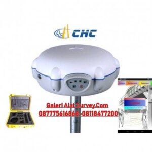
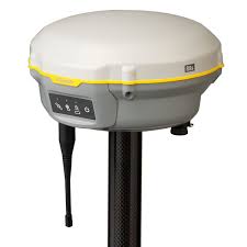
- The shape of the E300 is inspired by the flying saucer, bringing the high performance and minimal structure of outer space.
- The body is made of magnesium alloy, which is rugged and has better EMC characteristics. The weight of the whole receiver is only 1.2kg.
- Integrated design, wireless binding, a backpack can hold the whole rover.
Design
The shape of the E300 is inspired by the flying saucer, bringing the high performance and minimal structure of outer space.
Intelligentvoice
The receiver and controller software support TTS intelligent voice broadcast, and the broadcast content supports user customiza- tion.
Interface
The interface adopts a concealed design for better protection, and Type-C charging and transmitting is a two-in-one function.
Electronicbubble
The built-in electronic bubble can display the horizontal situation on the controller, which is convenient for the surveyor to collect the detailed points in the field.
Button
The receiver has only one power button, which is convenient for users to learn and use.
WebUI
The user can connect to the receiver through a smartphone or other hardware products with WiFi function to perform settings, status check, survey data download and firmware upgrade, etc. Operating E300 can be as simple as surfing the Internet.
Material
The body is made of magnesium alloy, which is rugged and has better EMC characteristics. The weight of the whole receiver is only 1.2kg.
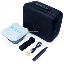
Portable
Integrated design, wireless binding, a backpack can hold the whole rover.
Protection
IP67, 2m drop-resistant design make the device worry-free.
aRTK
In the RTK operation, when the differential link of the radio or network is interrupted, the aRTK function is used, and the accura- cy of the RTK operation can be maintained for a certain period of time, and there is no dead angle in the satellite chain.
Satellitestationdifferential
Using a global framework reference station for differential data solving and broadcasting via satellite, users can achieve single-receiver centimeter positioning on a global scale, even if you are in the ocean, desert, gobi and other extreme environ- ments, it can provide you with accurate coordinate data under the global framework.
Tiltsurvey
The E300’s built-in high-sensitivity tilt sensor, combined with the survey algorithm, eliminates the need for calibration and is ready to use.

Ulasan
Belum ada ulasan.